
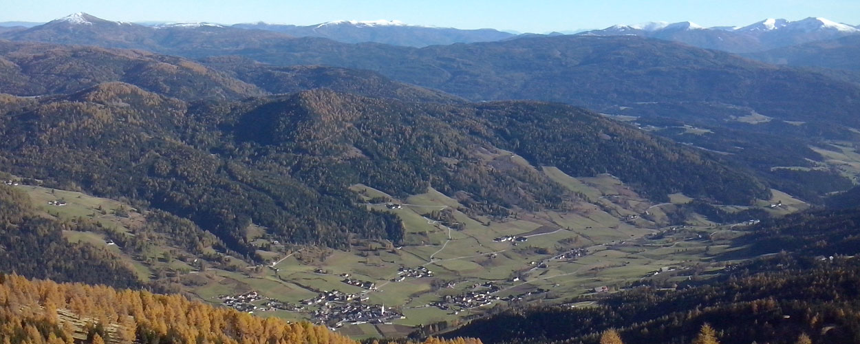
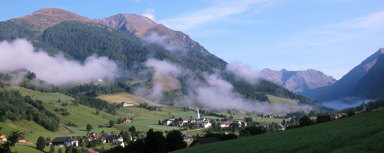
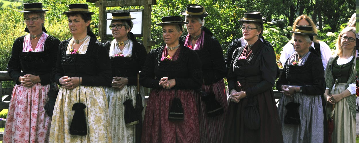
Hiking in Lungau
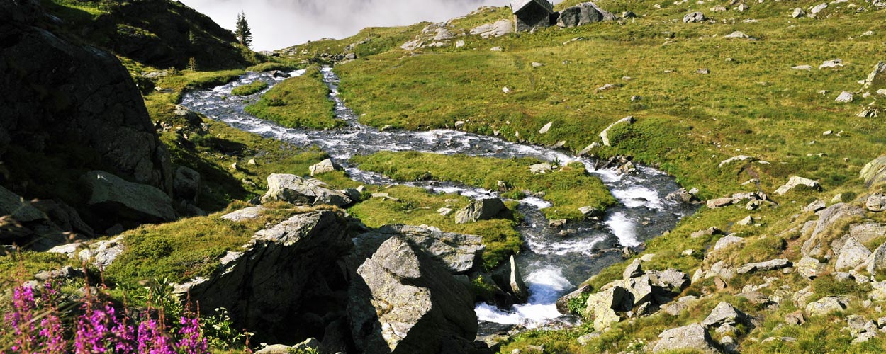
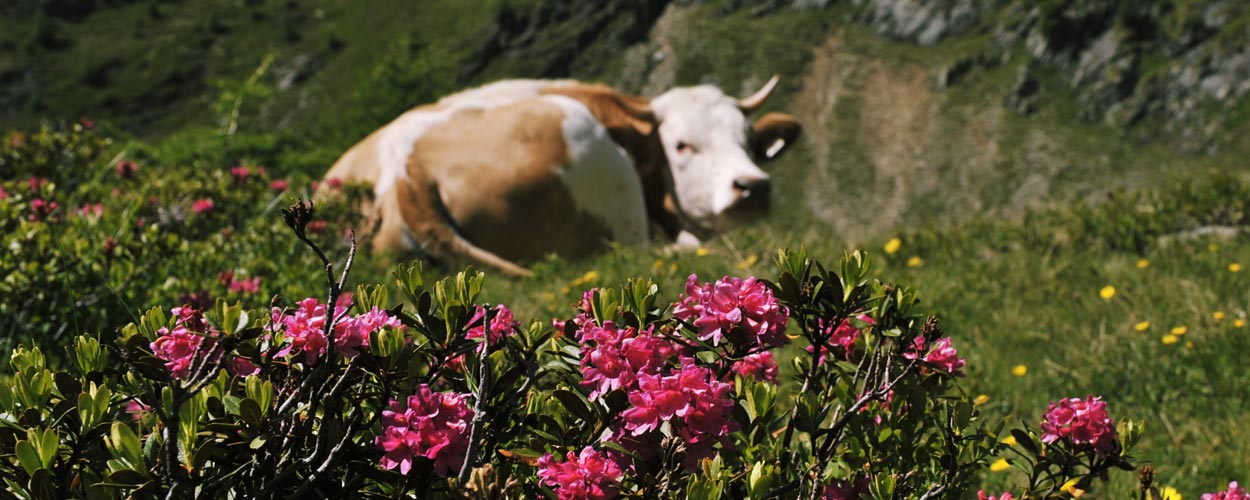
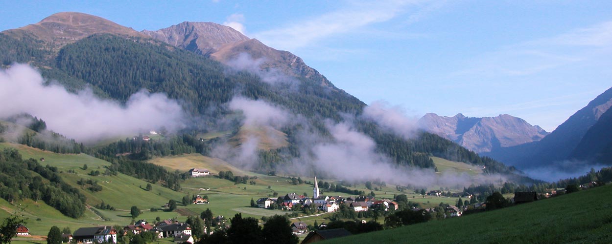
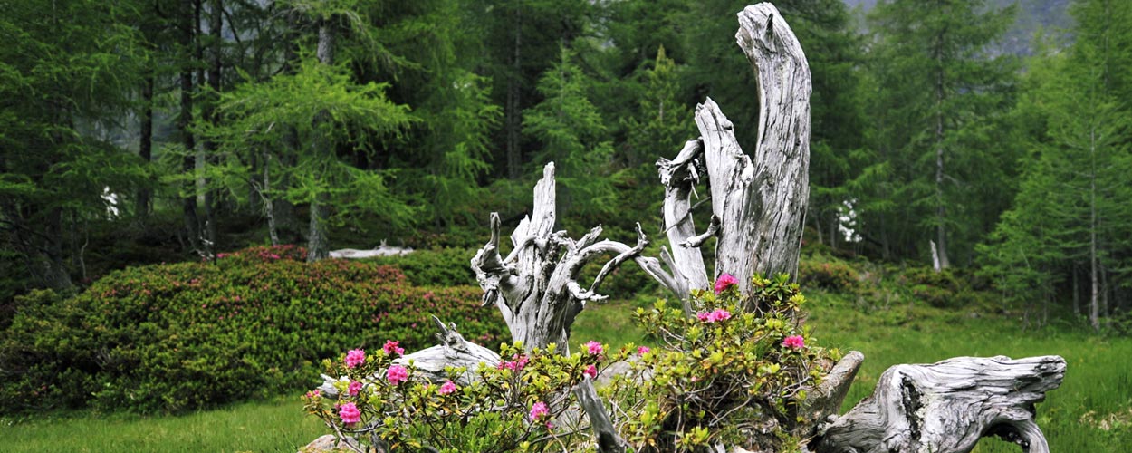
A hiking-area of high quality is awaiting you in the whole region of Lungau which is embedded between the “Niedere Tauern” and “Nockberge”. Here, you can experience fresh mountain air, flowery meadows, bubbling alpine brooks as well as crystal-clear lakes. Our mountains are awaiting you with a smashing overview.
Hiking Tips
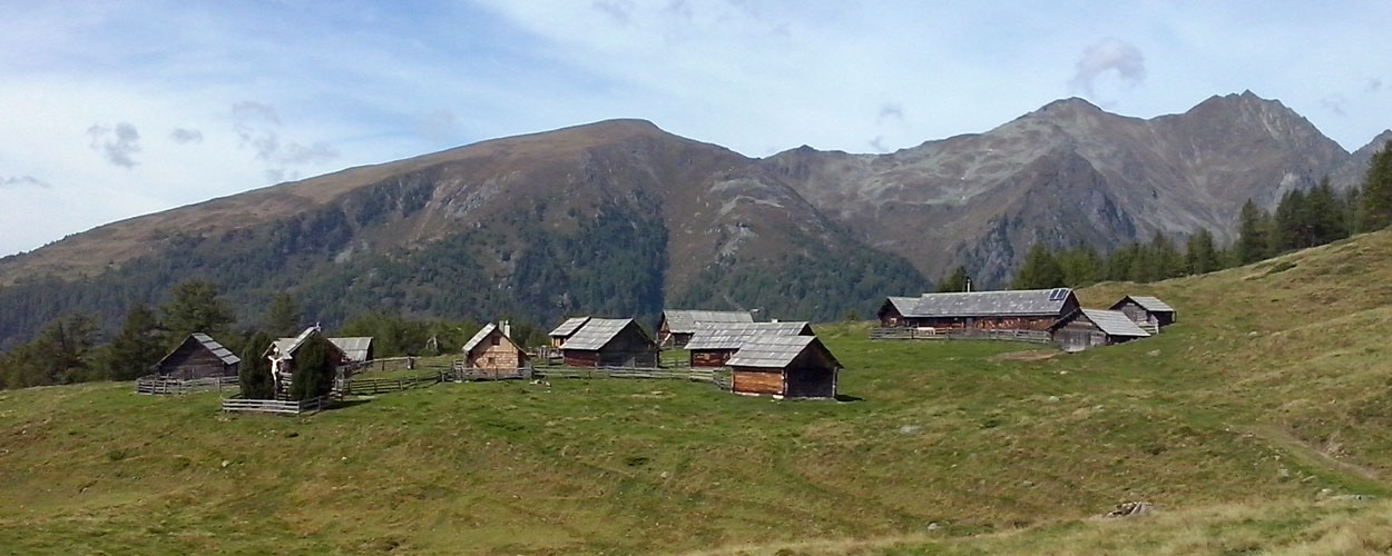
Hiking-Tour for children
Different play-stations for kids are awaiting you and your family. Here, you may experience wild-life and nature with all senses and finally reach our local hut “Wildbachhütte” which is located on 1806 meters above sea level. Despite a gorgeous view over Lungau’s villages, adults as well as children are awaiting delicious dishes, a playground, a slide and a ropeway. You may also enter the path with a buggy!
Gumma and Kreuzhöhe
From Wildbachhütte it takes you 1 hour to reach the top of Gumma, which is also a mountain for ski-tours and is provided with a very easy hiking tour. Kreuzhöhe is more demanding (2 hours from Wildbachhütte).
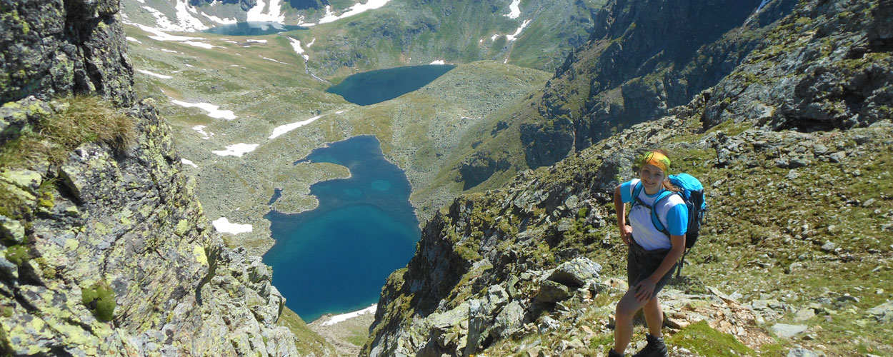
Lanschitzsee
Easy, 1 ½ hours up to the first of three lakes (1778 m); time-distance between first to second and second to third lake: 45 minutes. You may also continue your tour up to Schöneck.
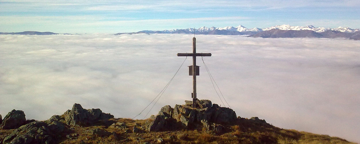
Zwerfenberg with Klafferkessel
Beautiful,fairly easy but demanding hiking tour. Departure: from “Laßhoferhütte” towards “Hinteralm”; walking-time up to “Gamsenalm” 2 hours; time-distance to lake “Zwerfenbergsee”: ½ hour; if you continue the path on the left you’ll reach the “Lungauer Klafferkessel
You may also take a view at the “Steirische Klaffer”: therefore, you simply have to continue your way past “Angersee” up to “Waldhorntörl” (time-distance from “Angersee”: 45 mins) This hiking tour is demanding, but definitely worth the effort!
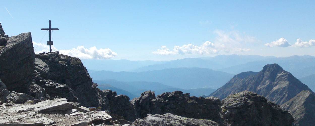
Waldhorn
Only for experienced hikers! From the “Waldhorntörl” we’ve already mentioned earlier, you may follow a small tagged path up to the top (2702 meters above sea level).
Gralatisee
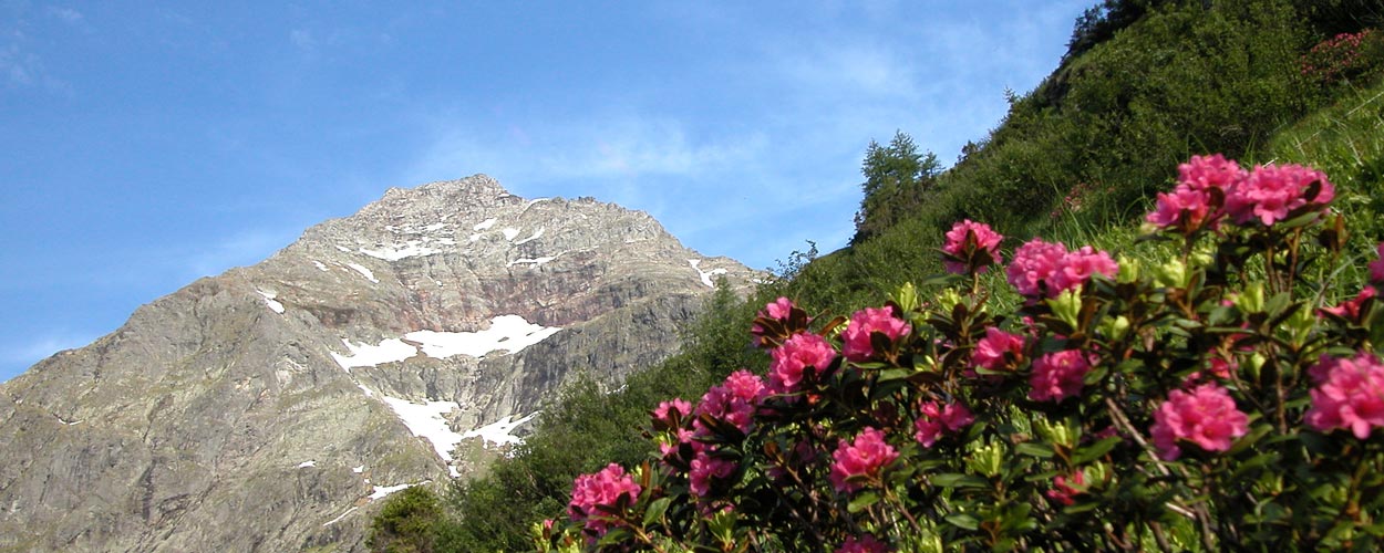
Small but beautiful lake with view to the “Hochgolling” – the highest mountain in the “Niedere Tauern”
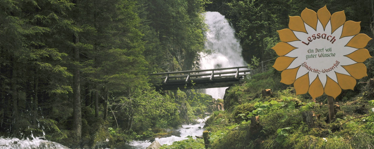
The tour takes you through Lessach’s small hut-village “Hinteralm” past a waterfall up to “Gollinganger”. From “Gollinganger” you may enjoy the magnificent view up to “Hochgolling”.
If you follow a path that proceeds on the very left you’ll get to “Gralatisee”. Hiking time: 2 ½ hours
Hochgolling
Hochgolling - Highest mountaintop in the “Niedere Tauern” (2862 m) .
We recommend to take the path that proceeds from our neighboring village “Göriach”. From “Göriach” you pass Göriach’s hut-village towards a hut named “Landawirseehütte”. After 1 hour turn right towards “Gollingscharte” (about 1 ½ hours hiking-time). It takes you another 1 ½ hours up to the peak. You may descend towards “Gollinghütte”.
Lachriegel towards Golzhöhe
Preberkessel – Mühlbachtörl – Preber (2740 m)
Maps
- Freytag & Berndt: Radstädter Tauern – Katschberg - Lungau
- Wanderführer „LUNGAU – Wandern und Natur erleben“ / Eur 9,00
- Lungau.travel Biospherereserve Lungau - Hiking and Leisure Map / Eur 2,-
We are gladly sending you our maps! (postage not included)